Rankin Inlet
About Rankin Inlet
Rankin Inlet, or Kangiqtiniq (“deep bay/inlet” in Inuktitut), is located on the west coast of Hudson Bay at N62° 49' W92° 05'. It is a bustling community that is the hub of the Kivalliq region. Rankin Inlet is located between Whale Cove to the south, Chesterfield Inlet to the north, and Baker Lake to the west.
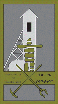
The community of Rankin Inlet was formed with the discovery of nickel in the 1950s. With the formation of the Rankin Inlet Nickel Mine, the Inuit of the region moved to the area to fill the jobs that were available. Although the mine had been shut down in the 1960s the community remained. Today, explorations near this community are discovering potential for the successful operations of both diamond and gold mines. It is projected that Rankin Inlet will become a bustling mining town in the next few years.
Just outside of Rankin Inlet is the Meliadine River, which is an historical site of the Thule people. It has a well-marked walking tour around this site. It has also long been a place for good fishing for arctic char, grayling, and trout. Marble Island is another historical site just outside of Rankin Inlet. It is one of the well known whaling sites in the north. Whaling ships wintered there while gathering valuable whale blubber to light the European lanterns and other by-products of the bowhead whale.
Population: 2,775
Contact
Email: @email
Phone: 867-645-2895
Fax: 867-645-2146